Choosing a Tile Provider
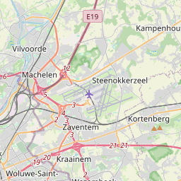
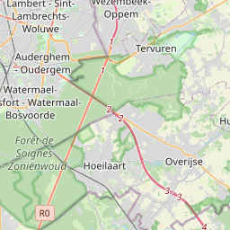
Pigeon Maps defaults to loading map tiles from OpenStreetMap.org. While free (thanks to volunteers and donations), these OSM tiles aren't the best looking visually.
Usually you want to specify a custom map tile provider. There are many commercial tile servers to choose from and you can even set up your own.
Using a custom tile provider
To specify your own provider, create a function with the signature (x: number, y: number, z: number, dpr?: number) => string which
returns the URL of the tile.
One nice provider is MapTiler. Their maps look good and their free plan provides up to 100k tile loads per month. You will need to sign up for an account and pass your API key and map id to the following provider
const MAPTILER_ACCESS_TOKEN = ''
const MAP_ID = ''

function mapTiler (x, y, z, dpr) {
  return `https://api.maptiler.com/maps/${MAP_ID}/256/${z}/${x}/${y}${dpr >= 2 ? '@2x' : ''}.png?key=${MAPTILER_ACCESS_TOKEN}`
}

return (
  <Map
    provider={mapTiler}
    dprs={[1, 2]} // add this to support hidpi/retina (2x) maps if your provider supports them
    height={300}
    defaultCenter={[50.879, 4.6997]}
    defaultZoom={11}
  />
)
Included providers
Pigeon Maps comes with a few providers you can import and use directly.
osm
This is the default provider. Free and supported by donations. Does not support HiDPI/retina tiles.
import React from 'react'
import { Map } from 'pigeon-maps'
import { osm } from 'pigeon-maps/providers'

return (
  <Map
    provider={osm}
    height={200}
    defaultCenter={[50.879, 4.6997]}
    defaultZoom={11}
  />
)
stamenTerrain
Orient yourself with our terrain maps, featuring hill shading and natural vegetation colors. These maps showcase advanced labeling and linework generalization of dual-carriageway roads.
import React from 'react'
import { Map } from 'pigeon-maps'
import { stamenTerrain } from 'pigeon-maps/providers'

return (
  <Map
    provider={stamenTerrain}
    dprs={[1, 2]} // this provider supports HiDPI tiles
    height={200}
    defaultCenter={[50.879, 4.6997]}
    defaultZoom={11}
  />
)
stamenToner
These high-contrast B+W (black and white) maps are perfect for data mashups and exploring river meanders and coastal zones.
import React from 'react'
import { Map } from 'pigeon-maps'
import { stamenToner } from 'pigeon-maps/providers'

return (
  <Map
    provider={stamenToner}
    dprs={[1, 2]} // this provider supports HiDPI tiles
    height={200}
    defaultCenter={[50.879, 4.6997]}
    defaultZoom={11}
  />
)
maptiler
Nice looking commercial maps from MapTiler. You get 100k tiles for free, so it's a no-brainer for websites with limited traffic.
Pass the API key and the basemap type (e.g. streets, basic, topo, etc) to the imported function.
import React from 'react'
import { Map } from 'pigeon-maps'
import { maptiler } from 'pigeon-maps/providers'

const maptilerProvider = maptiler('MY_API_KEY', 'streets')

return (
  <Map
    provider={maptilerProvider}
    dprs={[1, 2]} // this provider supports HiDPI tiles
    height={200}
    defaultCenter={[50.879, 4.6997]}
    defaultZoom={11}
  />
)


